Wildfire is a natural part of Utah’s ecosystems, but the development within and around wildlands over the last decade or two has posed challenges for wildfire and safety officials. In 2005, Utah initially identified almost 600 communities and their surrounding natural resources as “at risk” from wildland fire.
The list consists of communities throughout Utah that have been determined by wildland fire officials to be at risk from wildland fire. Communities considered “At Risk” from wildland fire are listed alphabetically within each county.
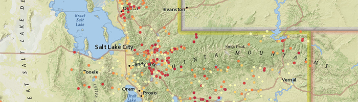
The “Overall Score” represents the sum of multiple risk factors analyzed for each community. Examples of some risk factors are fire history, local vegetation, and firefighting capabilities. The Overall Score can range from 0 (No risk) to 12 (Extreme risk). This score allows Utah’s fire prevention program officials to assess relative risk and create opportunities for communications with those communities on the list.
Please contact one of our local Forestry, Fire, and State Lands Area Offices or the State Office for more information on this program or with questions regarding mitigation efforts.